
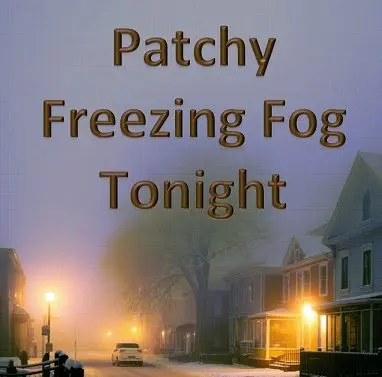
(BENTON, Ky.) – WCBL/WCCK Chief Meteorologist Beau Dodson is tracking the potential for patchy freezing fog across the region tonight, with areas along the Missouri Bootheel, northwest Tennessee, and the Kentucky-Tennessee border facing the highest risk.
“The chance of fog is a bit higher over the Missouri Bootheel, northwest Tennessee, and along the Kentucky/Tennessee border,” Dodson said. “I will be monitoring areas farther north.”
However, Dodson emphasized that uncertainty remains in the forecast. Cloud cover tonight could reduce the likelihood of freezing fog development.
“There remains some question about this forecast,” he explained. “If we have more clouds tonight, then the freezing fog risk will be lower.”
As of now, the National Weather Service has not issued any freezing fog advisories for the area due to low forecast confidence. Should conditions change, Dodson said he will issue an alert through the WeatherTalk app.
What is Freezing Fog?
Dodson offered a simple explanation for viewers unfamiliar with the phenomenon.
“Freezing fog is simply fog that leaves a thin layer of ice on surfaces. It is typically non-measurable. Thin,” he said. “You know, in the spring or autumn, when we have fog? Remember how your windshield has moisture on it? Same thing.”
The key difference tonight will be the temperature. “The only difference is that it will be bitterly cold tonight,” Dodson warned. “That little bit of moisture can leave a thin layer of ice on surfaces.”
Residents are advised to exercise caution if traveling overnight and to allow extra time in the morning for defrosting vehicles. Stay tuned to WCBL/WCCK and download the WeatherTalk app at beaudodsonweather.com for the latest updates.